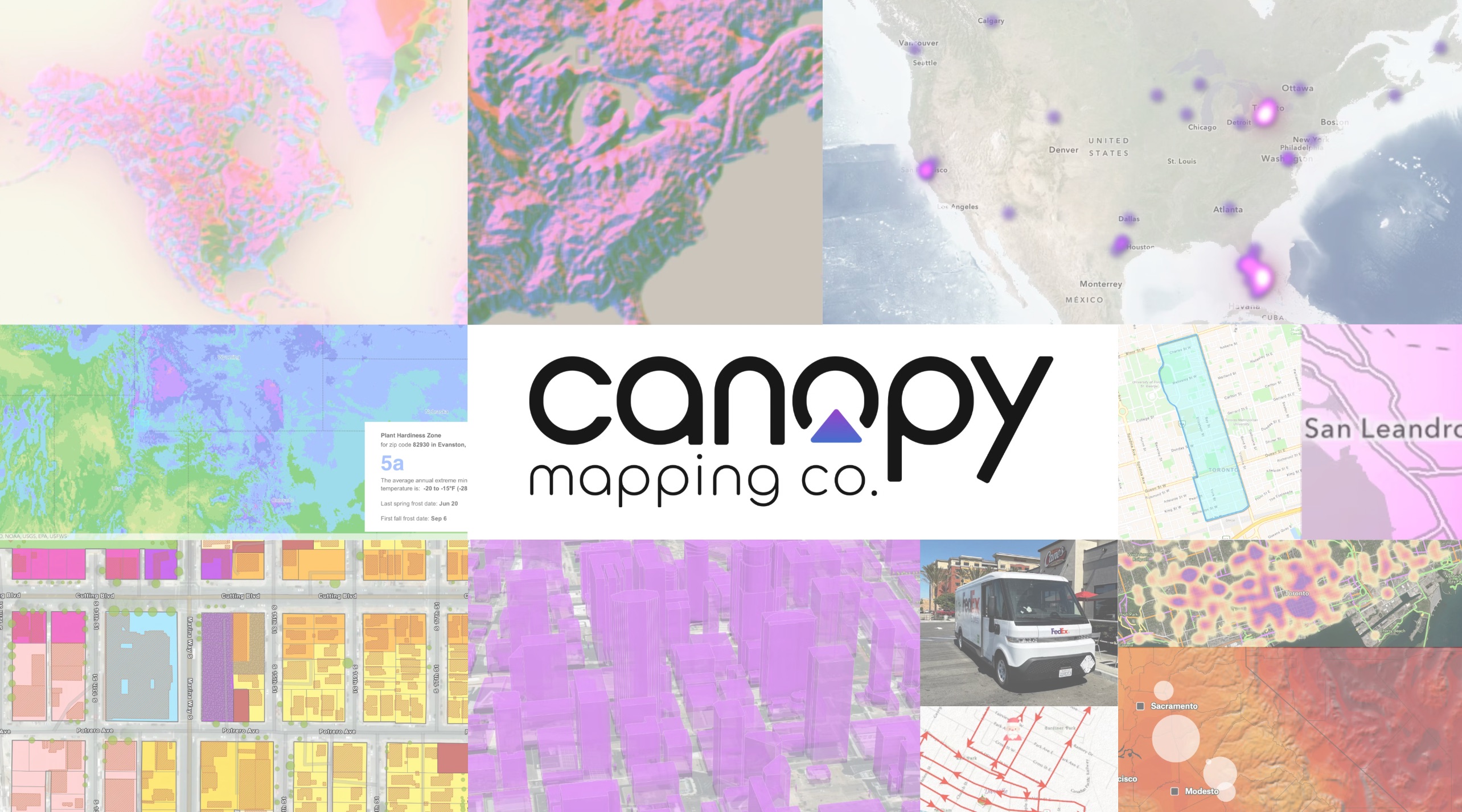
About Canopy Mapping Co.
Canopy Mapping Co. builds advanced geospatial software that helps governments, utilities, and organizations understand their world through modern spatial technology. Our tools are used across North America to support urban planning, infrastructure management, emergency response, environmental stewardship, and digital operations.
Working with Spatial Data
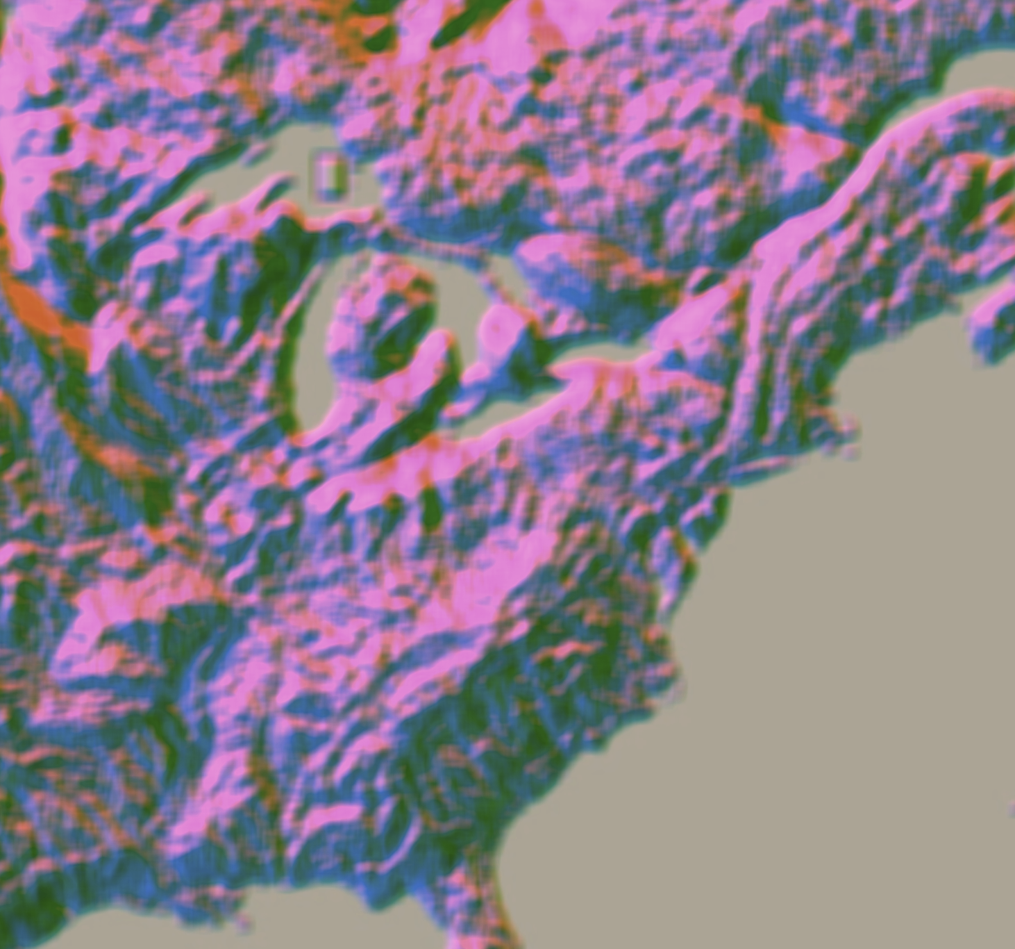
Our software transforms complex geographic information into clear, beautiful visualizations that help planners, engineers, and decision-makers understand their cities and infrastructure.
From heat maps showing urban activity patterns to detailed terrain analysis and 3D city models, we make spatial data accessible and actionable.
What We Do
We design platforms that elevate how organizations work with geospatial information. Our products integrate seamlessly with ArcGIS Online so teams can use their existing identities to access modern tools without friction or extra accounts.
PlotPilot
Automated mapping, zoning summaries, and planning workflows
Backups
A secure platform that backs up and analyzes every item in an ArcGIS Online organization
UOMS
A real time outage and utility operations system for water and public works teams
Postal Code and Territory Data
A high precision Canada wide postal code dataset used for routing, logistics, service zones, territory planning, and fleet modeling
Our Philosophy
Spatial technology should feel clear, calm, and human. Our design principles draw from cartography, visual hierarchy, and motion design to ensure that every interface reveals information instead of obscuring it. We build for the realities of professional GIS work while maintaining a sense of clarity and visual balance.
Serving Communities Across North America
Our products are used by municipalities, utilities, and organizations across the continent.
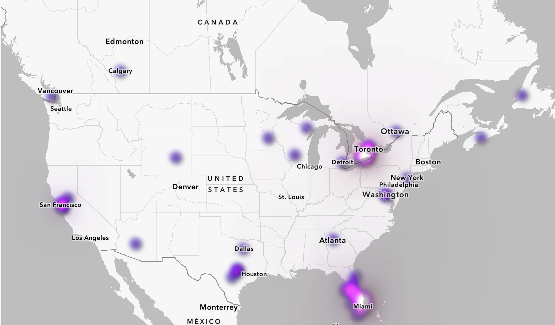
Where We Operate
Founded in 2017, Canopy Mapping Co. operates in Ontario, Florida, Texas, Wyoming, British Columbia, and California. Our approach blends cartographic craft, software engineering, and real world domain expertise to deliver spatial systems that are powerful yet approachable.
Toronto, Ontario
Sacramento, California
Austin, Texas
St. Petersburg, Florida
Casper, Wyoming
Ready to Work with Modern Geospatial Tools?
Discover how Canopy Mapping Co. can help your organization work smarter with spatial data.